
Our Services
We provide professional drone services tailored to the needs of the oil & gas, utilities, construction, and infrastructure industries. Every project is different, which is why we work closely with our clients to deliver accurate aerial data, improve safety, and support informed decision-making.
-
•Well site documentation
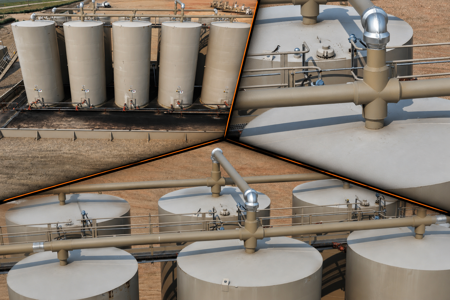
•Tank battery inspections
•Pipeline right-of-way monitoring
•Progress documentation
•Asset photography and videography
-
•Transmission line inspection
•Substation documentation
•Right-of-way monitoring
•Vegetation assessment
-
•Project progress tracking
•Earthwork documentation
•Site overviews
•Marketing imagery
-
•Orthomosaic mapping
•3D site models
•Volumetric measurements
•Thermal/Multispectral imaging
Our Process
Consultation
Every project begins with a conversation to understand your objectives, site conditions, timeline, and data requirements. We tailor every mission to your specific needs.
Mission Planning
We develop a safe and efficient flight plan while considering airspace, weather, regulations, and operational requirements to ensure the job is completed safely and efficiently.
Data Collection
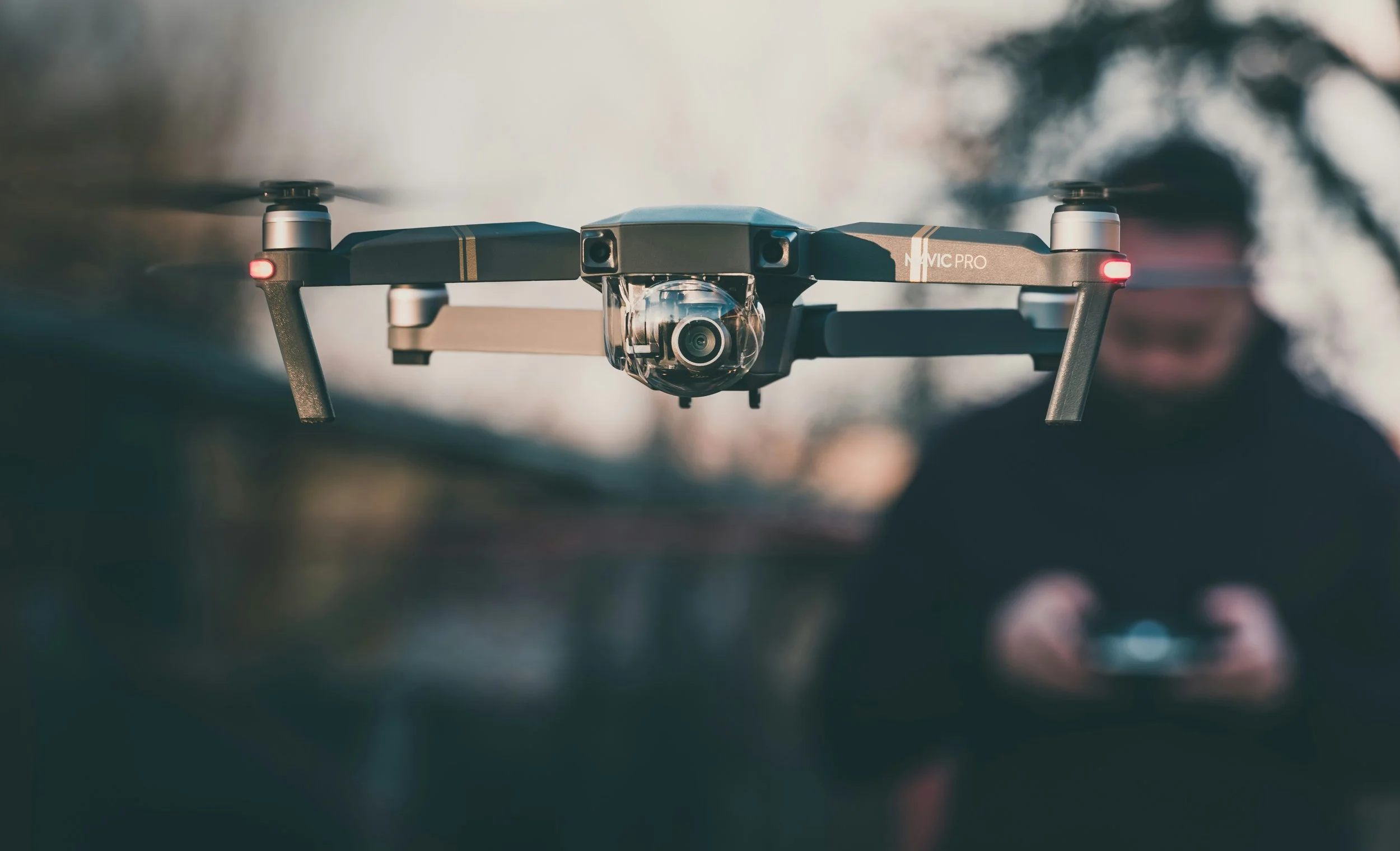
Using professional drone technology, we capture high-quality aerial imagery, video, and mapping data with precision while minimizing disruption to your operations.
Delivery
You’ll receive organized, high-quality deliverables that support inspections, project documentation, planning, and informed decision-making.